Dr. Dawn Wright

Introduction
Dr. Dawn Wright is a world-renowned American geographer, oceanographer, and a leading authority on applying geographic information system (GIS) technology to marine environments. Affectionately known by her handle "Deepsea Dawn," she serves as the Chief Scientist of the Environmental Systems Research Institute (Esri), the global leader in location intelligence and mapping software.
Academic Background & Professorship
Raised in Maui, Hawaii, Dr. Wright developed a childhood fascination with what lay hidden beneath the ocean surface. Her educational foundation spans several top-tier geoscience institutions:
- BS in Geology: Graduated cum laude from Wheaton College in Illinois.
- MS in Oceanography: Earned from Texas A&M University, during which she worked as a marine technician for the Ocean Drilling Program.
- PhD in Physical Geography and Marine Geology: Completed her interdisciplinary doctorate at the University of California, Santa Barbara (UCSB).
- Oregon State University (OSU): Spent 17 years as a full professor of geography and oceanography at OSU, where she was named the Oregon Professor of the Year. She still maintains a courtesy faculty affiliation there.
Historic Ocean Exploration
Dr. Wright has participated in over 20 oceanographic research expeditions, capturing data in some of the most geologically volatile corners of the globe. She has cemented her name in history through several landmark exploration milestones:
- The Alvin Submersible (1991): She became the first Black woman to dive to the deep ocean floor in a research submersible, descending 2,500 meters to the East Pacific Rise.
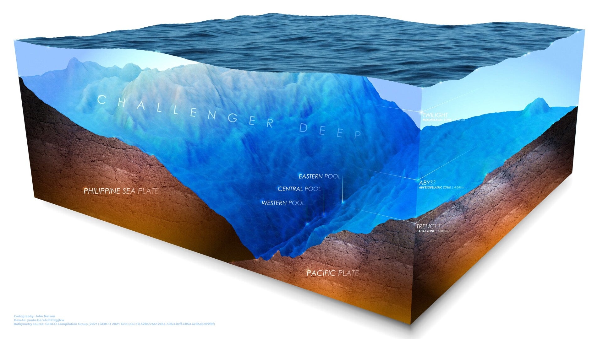
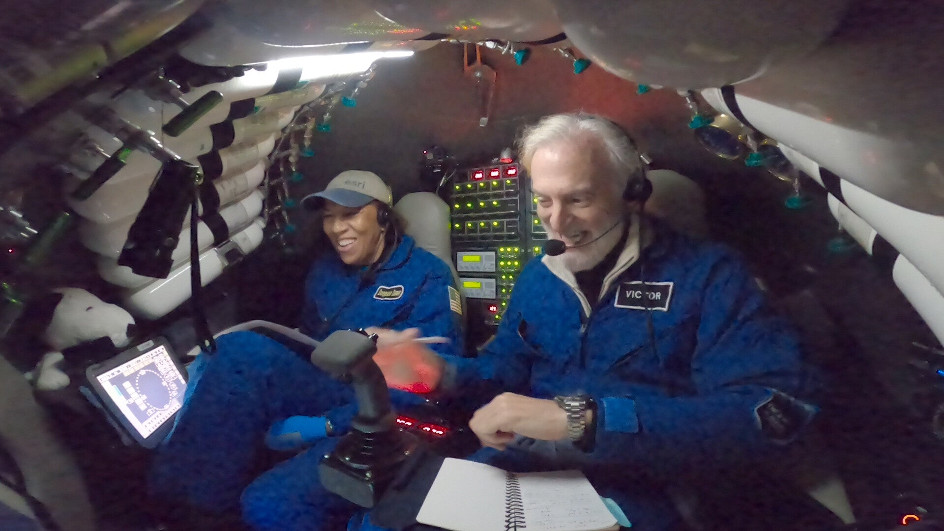
- Challenger Deep (2022): She made history as the first Black person to descend to the deepest known point on Earth—reaching a depth of 10,919 meters inside the Mariana Trench. During the dive, she successfully operated a side-scan sonar at full-ocean depth to map the seafloor.
Scientific Leadership & Advocacy at Esri
Dr. Wright joined Esri in 2011. In her role as Chief Scientist, she acts as a bridge between commercial GIS software development and the international scientific community, reinforcing the spatial data frameworks behind ocean and climate science.
Her landmark project includes co-leading the development of Ecological Marine Units (EMUs)—a global 3D digital map of the ocean’s physical properties designed to assist with marine conservation and environmental governance. Her immense contributions to geoscience have earned her elections to both the National Academy of Sciences and the National Academy of Engineering.